Habitat suitability mapping for eelgrass and kelp restoration in the northern Salish Sea
Eelgrass and kelp restoration initiatives in BC can fail due to a lack of information available on habitat suitability. Combining the latest information on the environmental requirements, anthropogenic stressors, current and future habitat use, land use tenures, and First Nations cultural interests will help practitioners identify areas most suitable to support eelgrass and kelp habitat.
As part of this project, models will be developed for eelgrass and kelp and made accessible through ArcGIS maps that practitioners can use to identify and prioritize locations for more successful restoration.
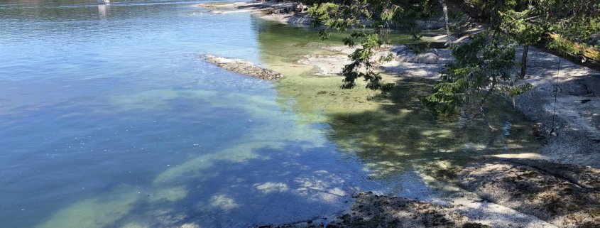
Eelgrass
The eelgrass models will build on previous work completed for the Cowichan River estuary, where a habitat suitability model, adapted from Short et. al. (2002): Site-selection model for optimal transplant of Zostera marina in the northeastern US, was developed and used to select suitable eelgrass transplant sites.
Parameters with data suitable for inclusion in this model included sediment, wave exposure, water depth, water quality (i.e. temperature, pH, DO, salinity), current velocity, bed mobility, hydrogen sulfide, active channel classification, and crown land tenures. This model will also incorporate our team’s transplant experience to develop a quantitative site-selection model for additional Strait of Georgia estuaries based on scientific criteria.
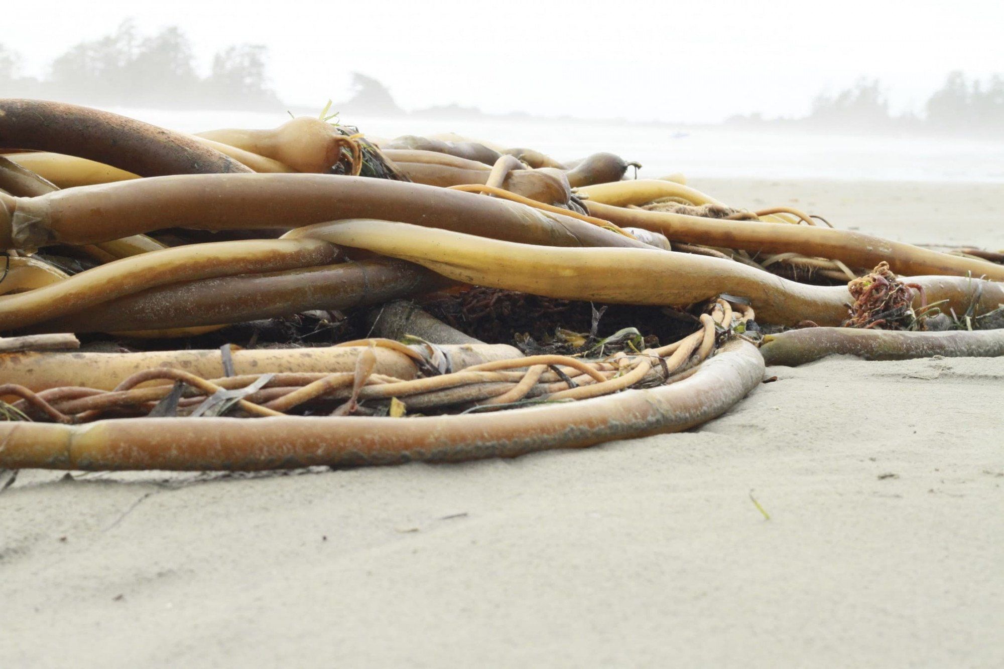
Kelp
Kelp forests depend on the presence of rocky substrate, cold waters, and water motion by tides and waves. Other kelp suitability factors include light and nutrient availability; a lack of predatory urchins, and competitive and invasive algae. Key parameters and thresholds for the kelp model will be determined in consultation with subject experts and will include recent satellite-derived information collated under the University of Victoria Spectral lab’s Kelp Resiliency Project/Kelp Alliance led by Dr. Maycira Costa. This PSF-supported program has assessed key ecological and environmental parameters associated with kelp persistence, guiding the prioritization and mapping of areas of the Salish Sea where kelp are most likely to recover following marine heat waves and impacts of climate change.
Parameters will be modeled throughout the focus estuaries and nearshore areas of the northern Salish Sea, and classified as either unsuitable, within acceptable tolerance limits but not optimal, or within optimal tolerance limits. A multiplicative model will be applied where areas with a higher score will represent areas of higher suitability, and areas with a lower score will represent areas of lower suitability, and a score of zero will represent unsuitable. Where data for key parameters are missing and/or of reduced quality, this project will provide recommendations for future data collection, which can later be incorporated back into the habitat suitability models.