Development of an ArcGIS Community Salmon Restoration Atlas
Information is not readily available about restoration methodologies applied around BC and their success, hampering learning from our mistakes, reducing our understanding of optimal strategies, and slowing down the process of adaptive management which would ensure that the best tools are applied for a particular restoration application.
To address this, we are developing an interactive map that shows the location of restoration projects with metadata and data, tools and approaches used, and measures of success. Data will be collated for PSF’s Community Salmon Program, West Coast Aquatic’s West Coast Vancouver Island projects, and Redd Fish Restoration’s projects from Clayoquot Sound, as well as from other stewardship groups around the Strait of Georgia and along the West Coast of Vancouver Island.
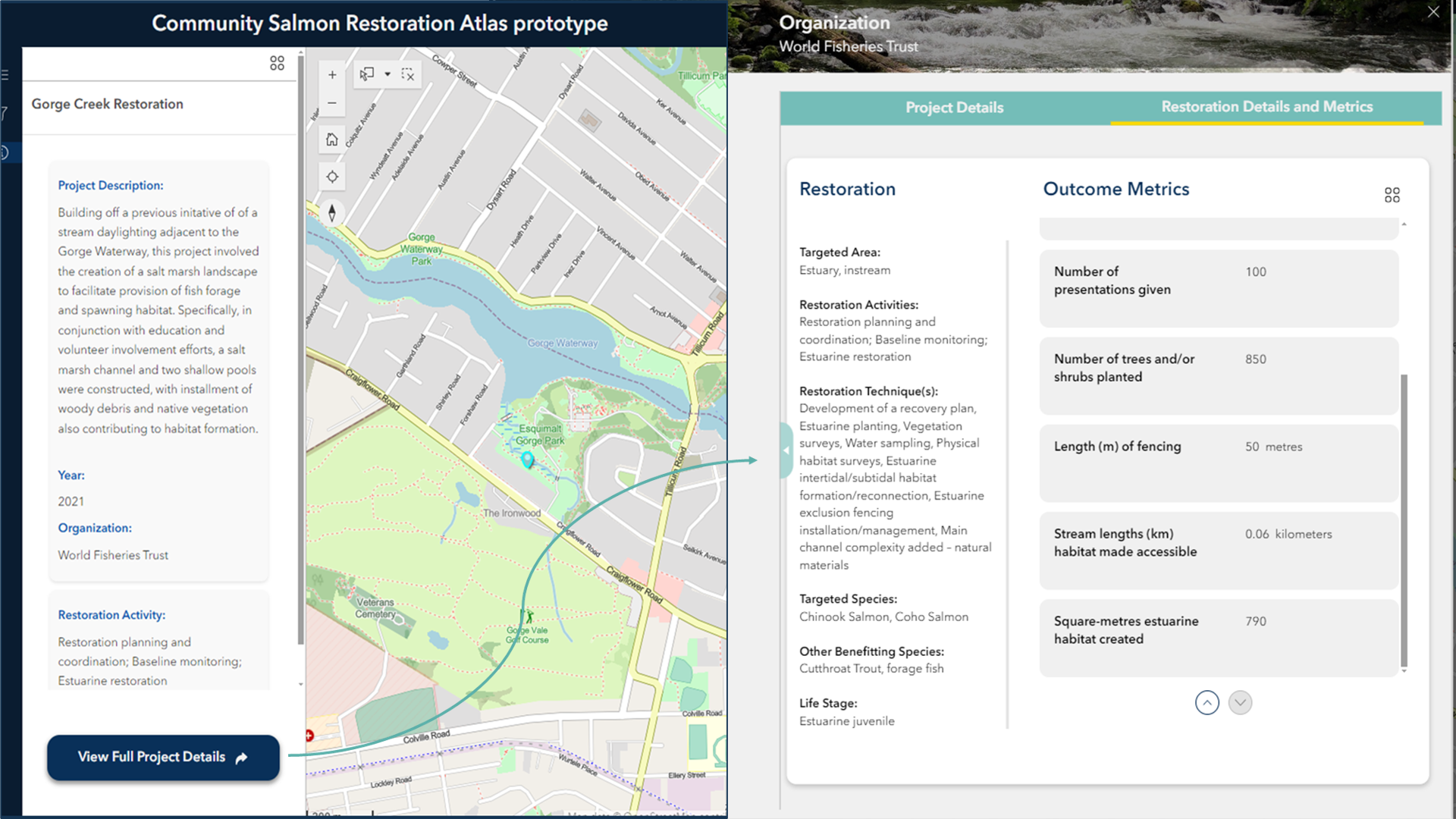
A prototype has been developed and data is being gathered for the map. See the example below of how the product may look.
Examples of restoration projects being added include:
- Uplands: e.g. removal of fish passage barriers, riparian planting
- Freshwater: e.g. connection of rivers and floodplains, dike and levee setback, revegetation along streams and rivers, placement of large woody debris, wetland restoration;
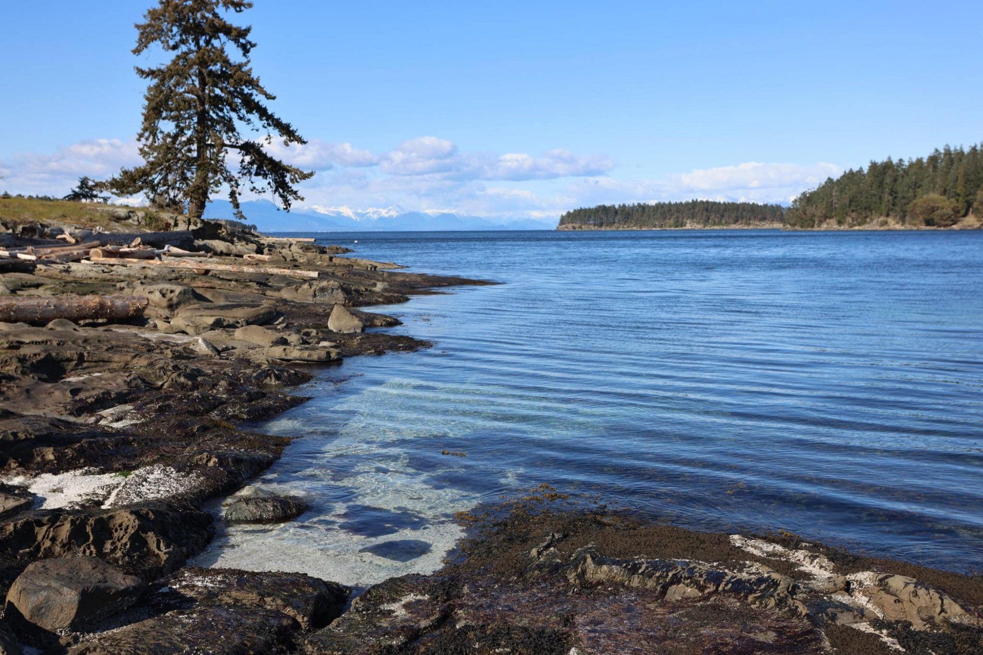
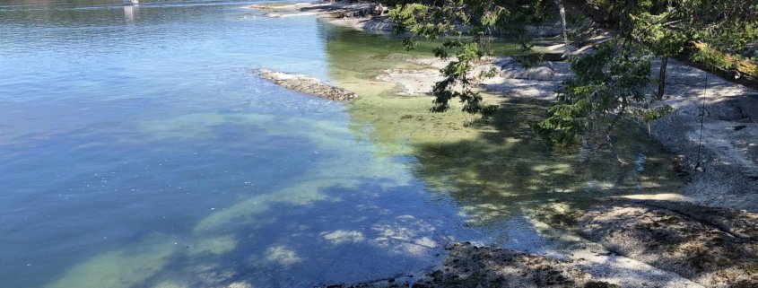
- Estuary: e.g. levee setback, eelgrass planting; invasive species removal;
- Marine nearshore: e.g. removal or softening shoreline armoring; kelp restoration
Each entry has key words defining the problem statement (e.g. what was the salmon habitat issue addressed?), the location of work, the practitioners involved, and outcomes. In many cases, outcomes have not been measured or tracked, so an interview/effectiveness evaluation process will be designed and implemented to determine how well different restoration measures have persisted over time and under climate stressors such as drought, floods and storm surge, and to assess whether outcomes were positive for Pacific salmon. The resource will be modelled on Washington’s Salmon Recovery Portal. Keywords are being created in consultation with DFO so that the Community Salmon Restoration Map will be interoperable with similar proposed DFO products.
Towards the end of the project, a meta-analysis will assess factors associated with project success, and outline priorities and recommendations for restoration strategies for use in future projects. This analysis and the map will together allow for assimilation of understanding and implementation of adaptive management, will reduce redundancy, and will enable future investment in restoration initiatives with highest probability of success.