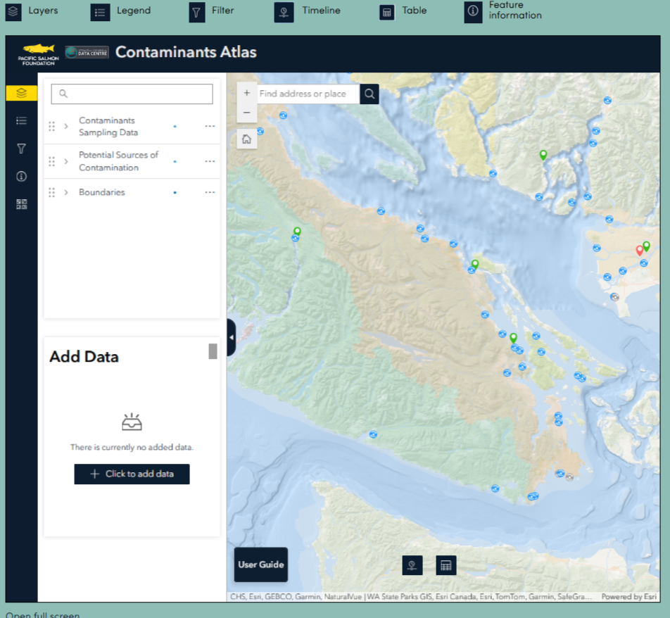
The Contaminants Atlas is a collection of data georeferencing environmental samples taken for contaminants analysis in the Strait of Georgia. Data come from a myriad of sources including peer-reviewed scientific literature, reports, environmental impact assessments, and government monitoring programs. Much of these data are challenging to access or difficult to find. The aim of this tool is not to provide a comprehensive understanding of contaminant concentrations in our environment but to facilitate access to data for interested parties, be that researchers, environmental consultants, or the general public. It is our hope that providing this tool will increase awareness of the problem of marine contaminants and further scientific work in the field.
Specifically, with this project we have:
- Produced a catalogue of all known contaminant data sources. Focus of data collection will be around contaminants in salmon, forage fish, sediment, and water.
- Developed an ESRI based online tool that maps locations of contaminant sampling efforts. The atlas will provide the capability to dynamically filter samples by year, collecting agency, contaminant group and more.
- Created metadata records in the Marine Data Centre for all catalogued datasets. Open access datasets will be directly available for download or linked to the original open-source database. Non-open access datasets will still have a metadata record but will note to contact the data owners for the resource.

