Forage fish include small, schooling fish like herring, sand lance and surf smelt. They are classified as forage fish because of their role in the ecosystem. Hard armouring of shores from structures like dykes, jetties and seawalls, changes the energy of waves along shorelines and natural movement of sediment (see our Resilient Coasts for Salmon program). Pounding waves can remove sand from one area and dump it in another, or hardpack sand making it difficult for forage fish eggs to sink into sand away from predators.
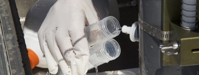
The Mount Arrowsmith Biosphere Region Research Institute (MABRRI) is training community volunteers to identify active forage fish spawning sites by collecting sediment samples from locations that look like good habitat. Sites are chosen using MABRRI’s existing predictive mapping for the Eastern coastline of Vancouver Island. Along with the sediment samples, beach characteristics are recorded to see how accurate predictive mapping is. Ultimately, all data collected, including beaches classified as positive, potential, or negative, along with the predictive mapping, are stored and mapped in the Strait of Georgia Data Centre.
This project will fill existing data gaps in where and when forage fish are spawning, specifically Pacific sand lance and surf smelt. Further, hosting this data in PSF’s Strait of Georgia Data Centre, means 24/7 access for anyone who is interested. These data could inform more educated management, policies and development decisions for beaches with forage fish in mind.
Learn more about forage fish, their habitat requirements, and the work that is supported by PSF and partners in the following presentation by Ecosystem Restoration Specialist, Jacklyn Barrs of World Wildlife Fund.
Also check out this published paper on the work and find regular updates on the MABRRI page where they post highlights of the work that the citizen science groups have done for the Forage Fish Spawning Habitat Monitoring Project in the Forager newsletter.
